Description:
The time on the cloud image is given in UTC, but the Beijing time can be seen in the title.
The loop is composed of 12 satellite images taken in the past several hours, with a time interval of half an hour or one hour . The image animation gives the viewer a clearer understanding of the movement of clouds.
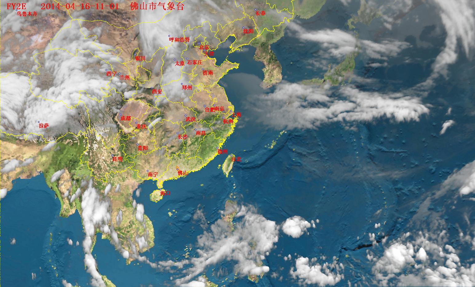
FY-2C is located 105 degrees east longitude, at the equator, and at an altitude of 35,800 km.
The satellites orbits at the same speed as the earth's rotation, so they are stationary relative to the ground (also known as geostationary satellites).
When the images are captured continuously at the same area on Earth, infrared imagery shows the temperature of the observed objects (eg. clouds). In general, the higher the cloud top is, the lower the temperature is, which means that part is brighter in the image. More images have been processed to meet these visual effects.
The images have been processed before published